Day 70 – Pocahontas State Park, Chesterfield, VA to Chippokes, State Park, Surry, VA

Updated: Oct 28
10/20/2026
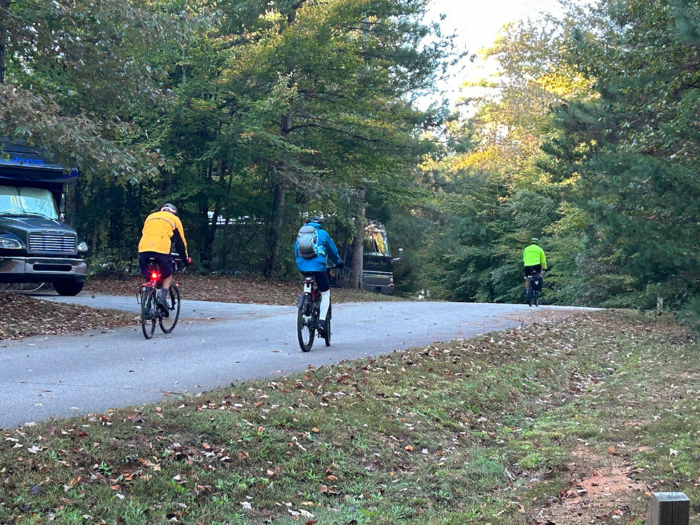
Today was Rolf’s day to drive the truck and John, Greg, & Mark rode their bicycles.
The route was 69.9 miles long with 2,214 ft of elevation gain – we’re now out of the mountains. But no one actually rode the entire route. John & Greg, who were in the lead, ran into marked gravel sections that were either non-existent or posted with no trespassing signs and/or gates. They switched to Google Maps that lead them through some gravel roads and Greg got to learn some mountain biking skills. The ended-up riding 75 miles. Mark, however, found roads to ride on and rode about 62 miles.
Greg & John had a great ride, discovering some beautiful and remote places. Mark had a different, but also lovely ride along roads with moderate traffic, although, no shoulder.
We don't have many pictures from the day, the cyclists spent most of it trying to figure out how to get where we were going.


Comments